Avaglio Muina – Sella Valcalda
CARESSING CARNIA
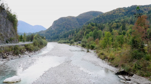
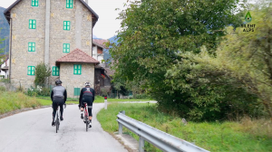
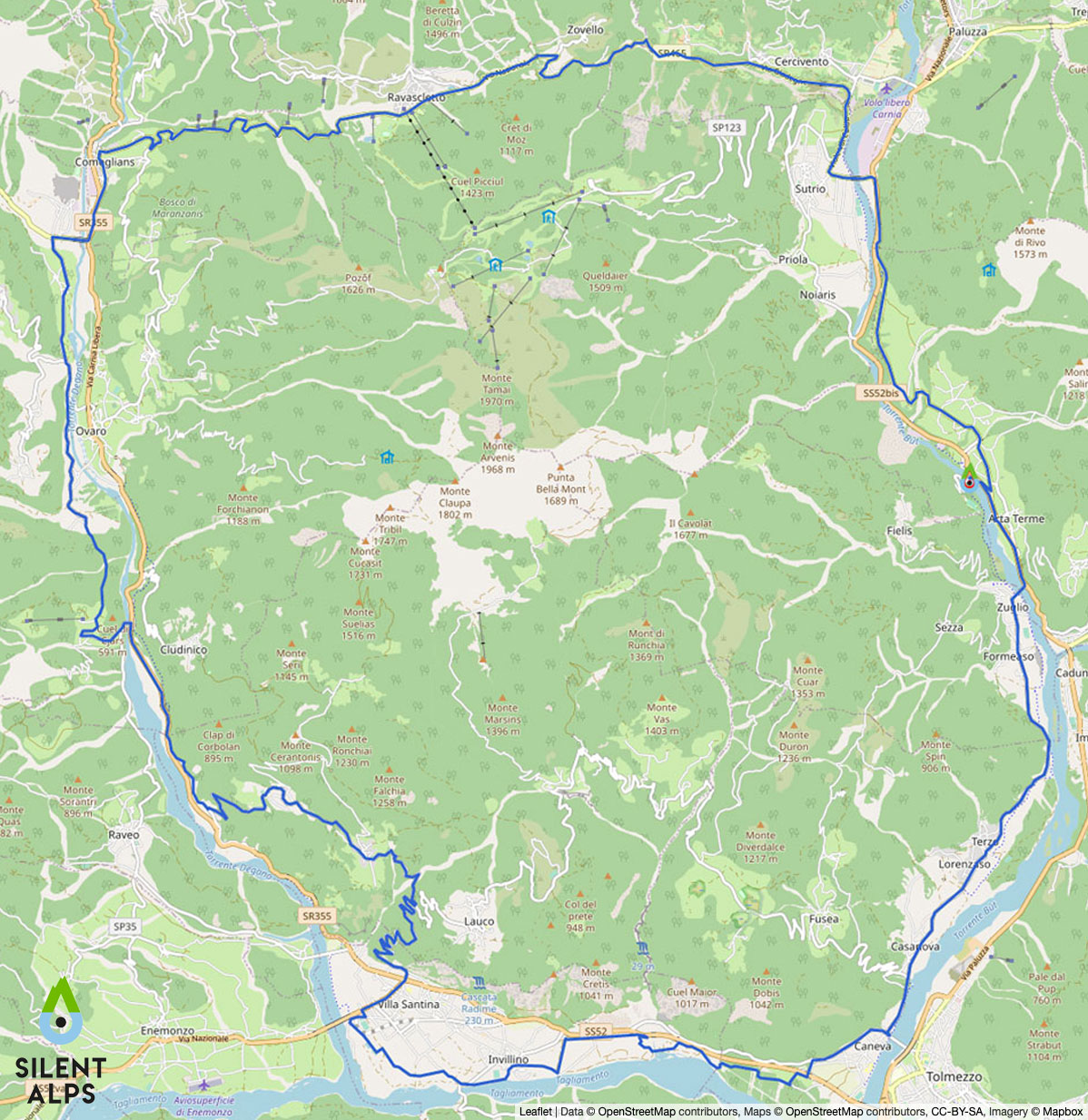
Our fifth route is the one we call Cycling in Carnia. It’s an “intimate” route that takes in the vallate del But the Tagliamento, the Degano and Valcalda. Departing from our kilometre zero – i.e. the convenient car park at Terme di Arta, we immediately head south on the secondary road that passes through the villages of Zuglio and Terzo.
After about 10 km we join a cycleway that takes us away from the main road and through the village of Invillino. Arriving at Villa Santina,
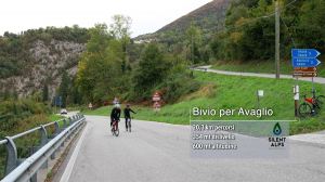
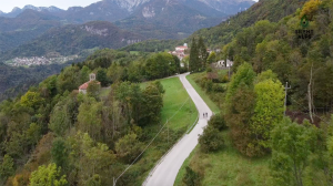
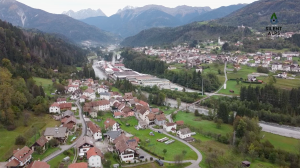
at km 16.9, we start a 5-km climb with an average gradient of 7% for Avaglio. The first 3.5 km are fairly gentle and wide, but the gradient increases in the last 1.5 km before reaching Avaglio. Here (km 22.2) we can enjoy one of the finest views of this route, over the whole of the Tagliamento valley towards the Friulian Dolomites.
Cycling on, we pass through the village of Trava, then begin a descent that demands close attention, due to the steep incline and consequent difficulty in controlling our bikes. After the descent, the track continues to follow the main road below, which we join at km 26.9. Take great care here, as the junction can be tricky.
Traffic coming from Tolmezzo always travels fast, and it’s best to stop and check there’s nothing coming before pulling out. After 1.6 km on the road, turn left onto the bridge over the Degano.
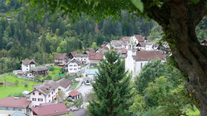
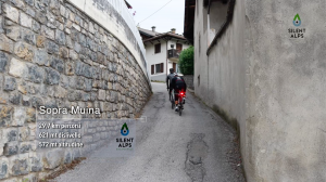
Here we begin the climb to Muina, a 1 km stretch where “stretch” is the operative word. A climb whose final section reaches a gradient of 18%. But the effort is ultimately rewarded as we enjoy the Degano valley, passing the villages of Agrons, Cella and Luincis. This is quintessential Carnia, and cameras will be red hot as they try to capture one of the most beautiful views on this route. Above us are the “three monsters of Carnia”: in order of difficulty, the Stentaria, the Zoncolan from Ovaro and the Crostis.
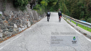
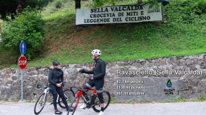
After 36.4 km we reach Comeglians, and an obligatory stop before tackling the climb to Ravascletto. An ascent that has featured in the Giro d’Italia countless times, as this is a crossroads where the pink-clad athletes head for the Zoncolan climb. At 6.5 km with an average gradient of 6.2%, this is not a tough climb, but it’s perfect to get the legs moving and dissolve some of the effort of the day before heading downhill back to e Terme di Arta. And there we can definitely find a few more ways of relaxing.
Distance: 59 Km
Elevation gain: + 1214 mt
Max altitude: 955 mt
Min altitude: 444 mt
Max gradient: 18%
Km 0
Departure from Terme di Arta car park.
Km 8,3
Turn right towards Villa Santina.
Km 10,0
Join the cycleway.
Km 15,0
The village of Invillino.
Km 17,0
Start of the climb to Lauco.
Km 20,2
Start of the climb to Lauco..
Km 22,6
End of the climb.
Km 26,7
Leave the secondary road and take the main road.
Km 28,8
Start of the steep section to Muina.
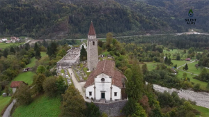
KM 31,5
Santa Maria church in Gorto.
Km 35,1
Turn right onto the bridge.
Km 36,6
Comeglians village, with an ancient bar on the square
Km 44,0
Inizio della discesa per Sutrio ed arrivo ad Arta
Arta Terme Benessere Alpino
Via Nazionale, n. 1
33022 Arta Terme (UD)


