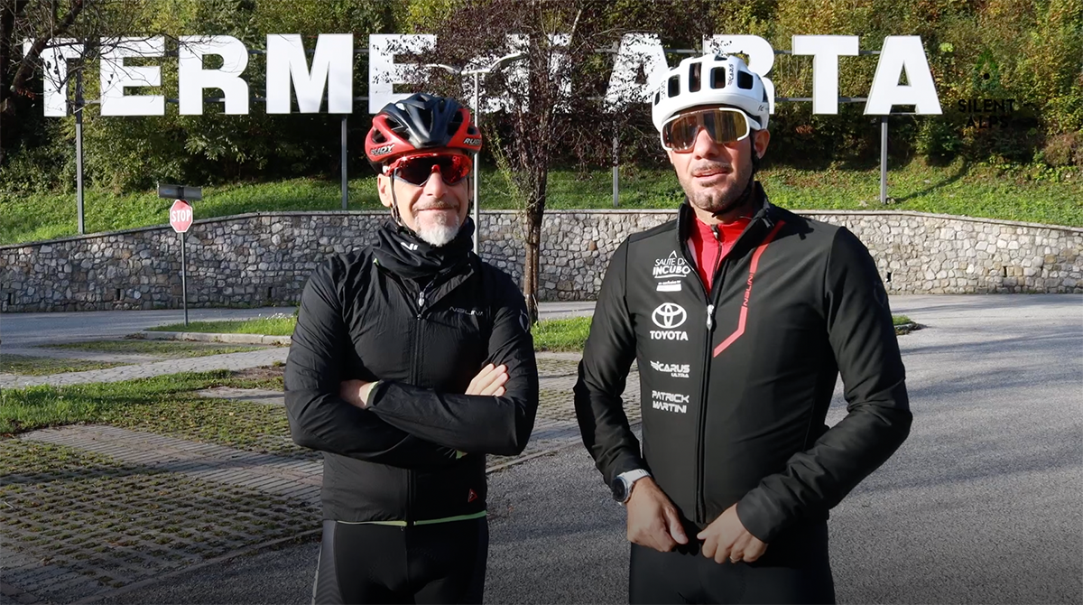
For the writer, this is a thrilling moment. It’s time to describe the most exhausting challenge of all. The one that will allow you to boast “I climbed the kaiser from Ovaro!”
It’s the price you have to pay if you want to tell people you’ve cycled one of the toughest routes on the planet, and definitely the most challenging on the UCI (Union Cycliste International). circuit. We’re used to receiving written accounts of this climb from a wide variety of people. To ensure this description is useful to you, we can tell you that the writer is a cyclist who has completed the ascent of Zoncolan from Ovaro 125 times. So we believe we’re providing a useful service (as in reliable advice) to anyone planning to cycle these 10 km made famous by the Giro d’Italia and also – a little bit – by yours truly ;-)
Although you may decide to depart from Arta Terme,
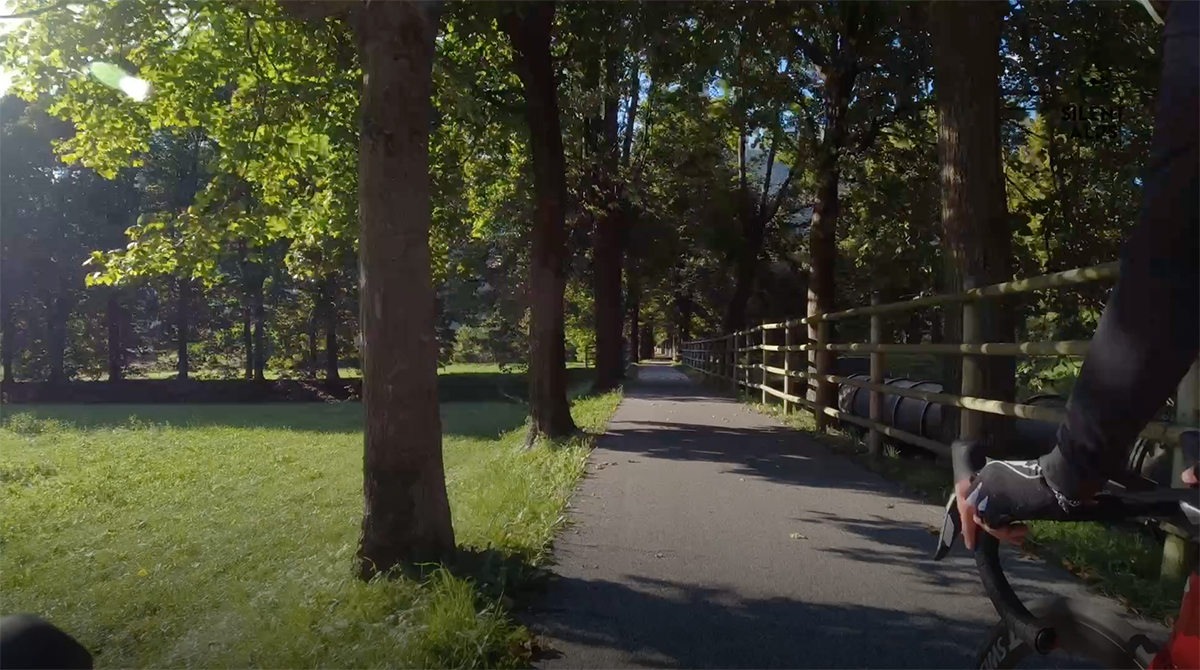
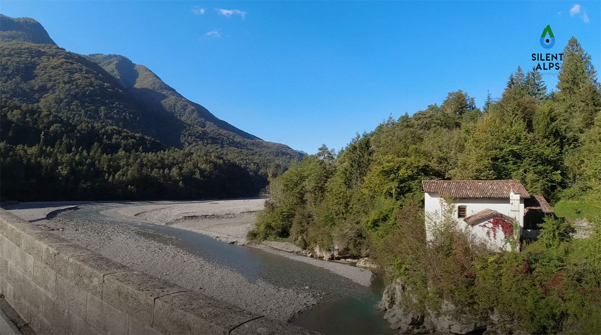
and go around the mountain, a 30-kilometre ride on semi-level terrain before reaching Ovaro, the section we’re recommending will make your experience far more memorable. But we have to tell you that if you choose this route, in addition to the Zoncolan from Ovaro, there’s another climb, also demanding, but with unmissable views. Leaving “kilometre zero” at Terme di Arta, we head towards Caneva di Tolmezzo. There, we take the cycleway to Villa Santina.
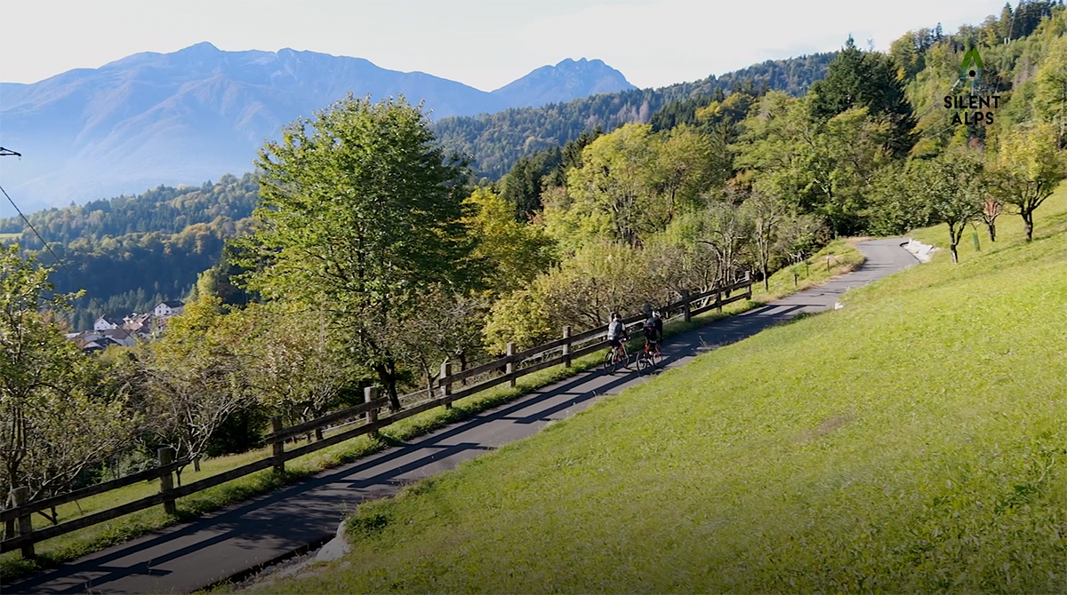
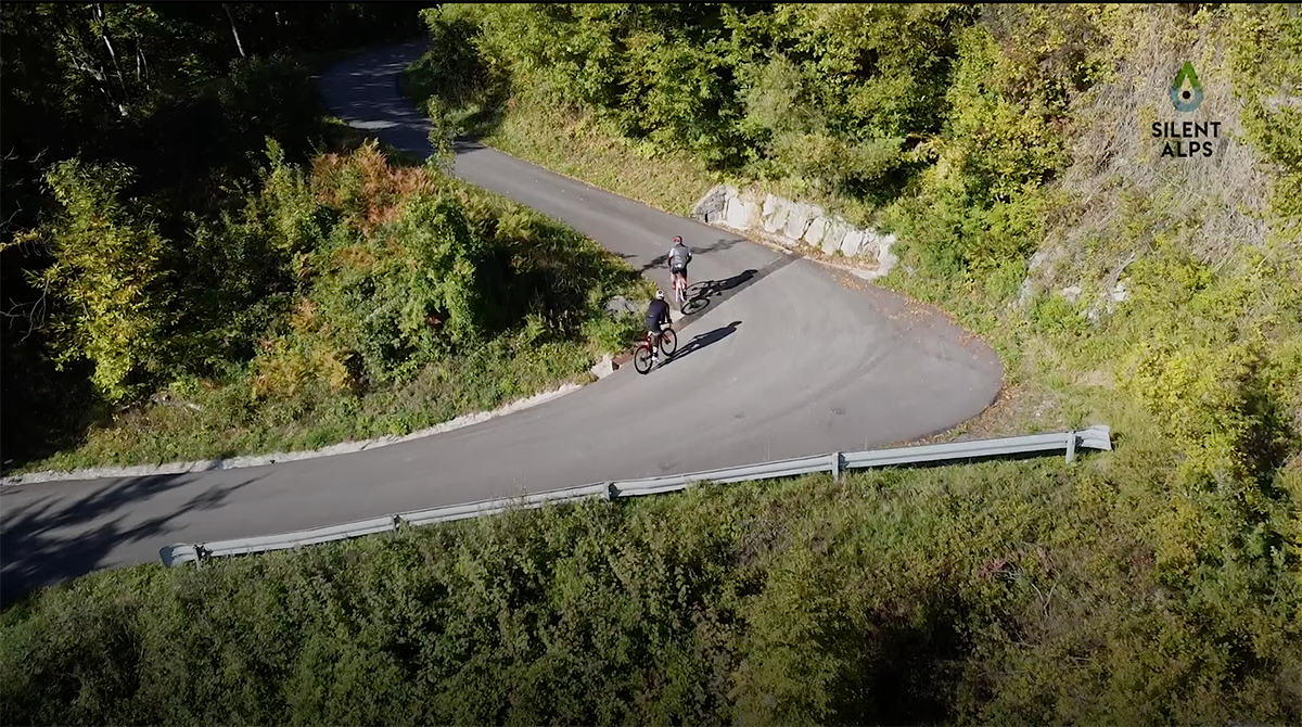
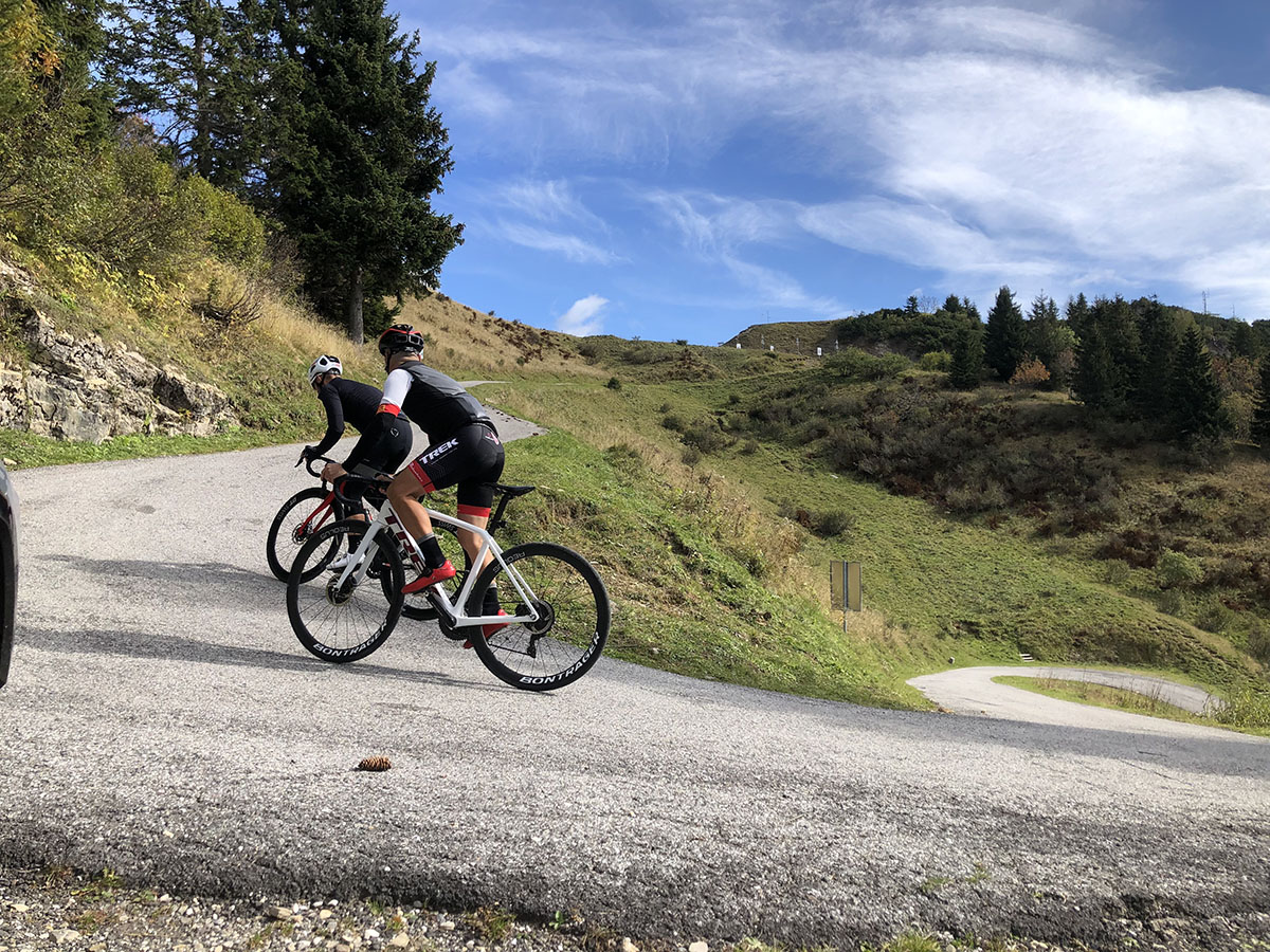
And here, at km 19.2, we can decide to stay on the cycleway all the way to Ovaro, then tackle the Kaiser. However, Silent Alps BikExperience suggests heading for Raveo. At km 23, as we enter the village famous for its biscuits, called “Esse di Raveo”, we turn right into a forest where we’ll meet another type of “S”. This time they’re in asphalt, and having reached km 24.6 via inclines of between 10 and 15%, you’ll see them laid out in the form of hairpin bends just 10 metres apart!
We may say it’s difficult to describe, but when you’re there and cycling it, you won’t believe how tough but fantastically beautiful the route is. You absolutely have to stop on one of the last bends and look down to marvel at the tangle of the road below, even though there’s another kilometre of the climb to go.
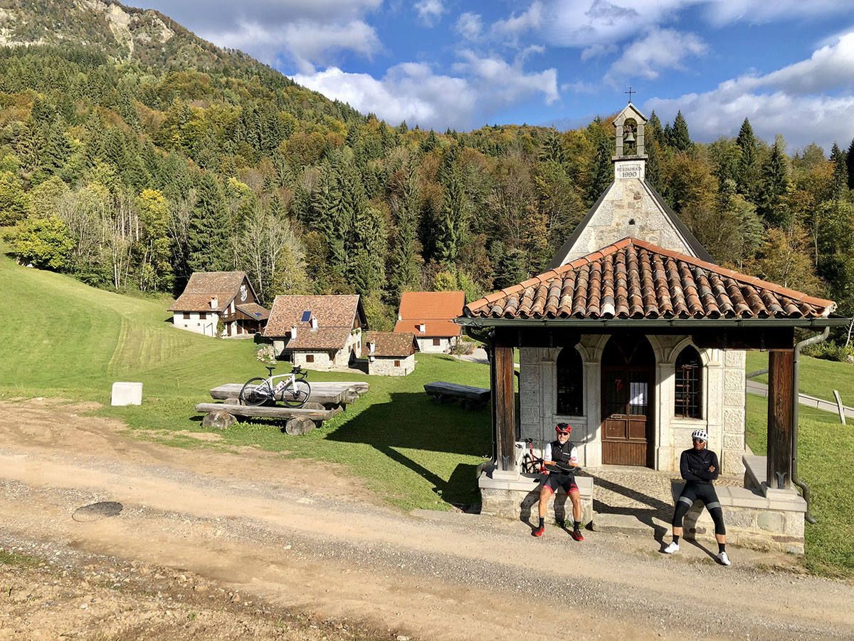
And at the end of that kilometre, an incredible paradise opens up before you (km 26.4). The stavoli of Valdie, with the little church. We’re not saying anything! Let us know what you think by emailing us at info@silentalpsbikeperience.it. From here it’s an easy 9 km downhill to Ovaro, and then we attack the Kaiser! So here it is… we’ve come to the epilogue of your six days with us, and our descriptions of the wonders of Carnia
by bicycle. And the epilogue involves an ultimate effort. The most famous challenge in the cycling world.
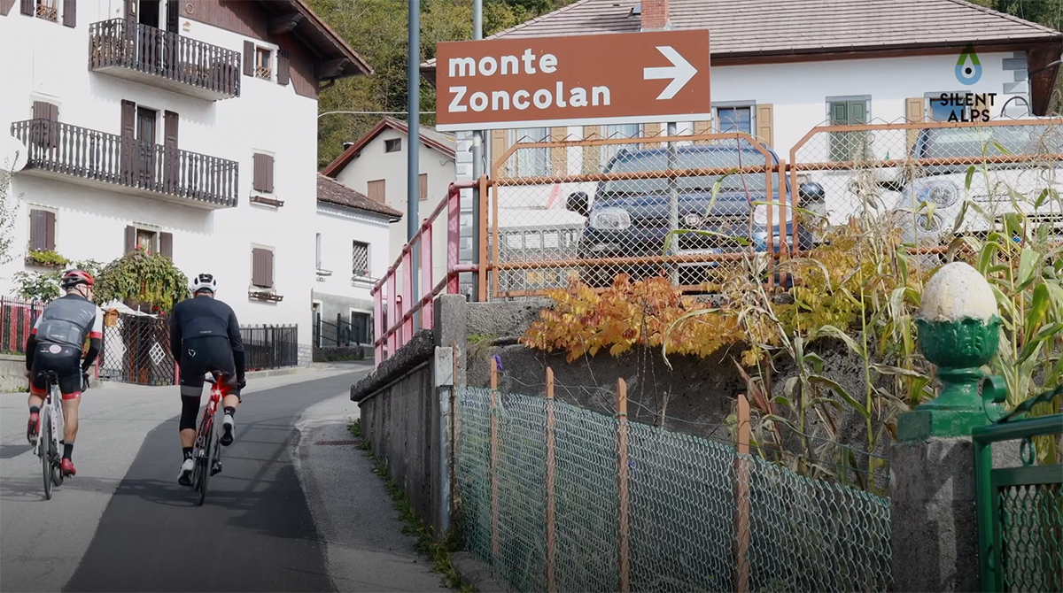
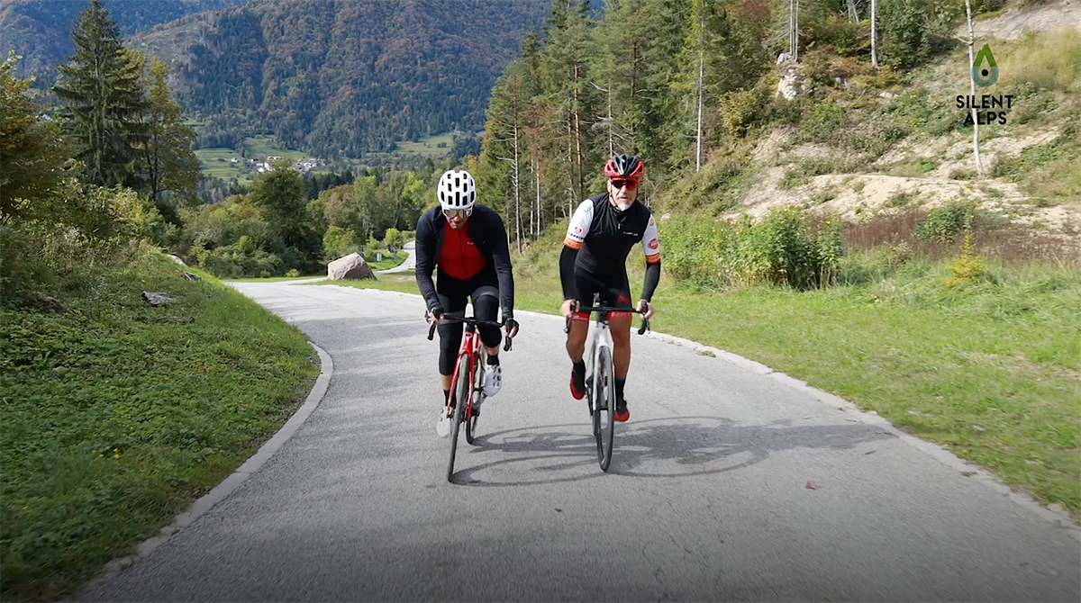
As you pass the arch of Ovaro (km 35.6), your heart will start beating differently. You’ll feel the excitement on your skin and in your heart, which has always dreamed of riding here, where champions win the Giro. The first 2 km are simple, with gradients of between 8 and 11%, until we come to the hamlet of Liaris. Here (km 37.2) we turn right onto a flat stretch. A tip: make the most of it, and summon all the strength you can muster. After these 300 metres or so of apparent calm, there’s a left-hand bend, and then THE MONSTER! A straight stretch in front of you that will be like a punch in the stomach, such is its extraordinary effect.
And this is the start of 6 interminable kilometres of the toughest climb, at an average gradient of 15%. The first 800 metres are not so bad, with gradients of 12-14%. But after approximately a kilometre, the incline increases inexorably, reaching peaks of 22%, and your computer will confirm the gradient never falls below 16% for at least the next 3 km. You’ll realise that what we’re describing is undoubtedly one of the most demanding climbs on the planet.
The hellish game doesn’t end, save for a couple of hundred metres at km 41.3, where you can rest before another 2 km of torture, punctuated with 50 metres of flat (which will feel like heaven), before the long-awaited 2 km. These start where you see the legend “MALGA POZOF”.
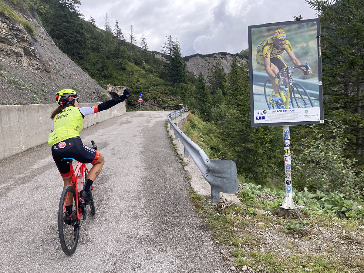
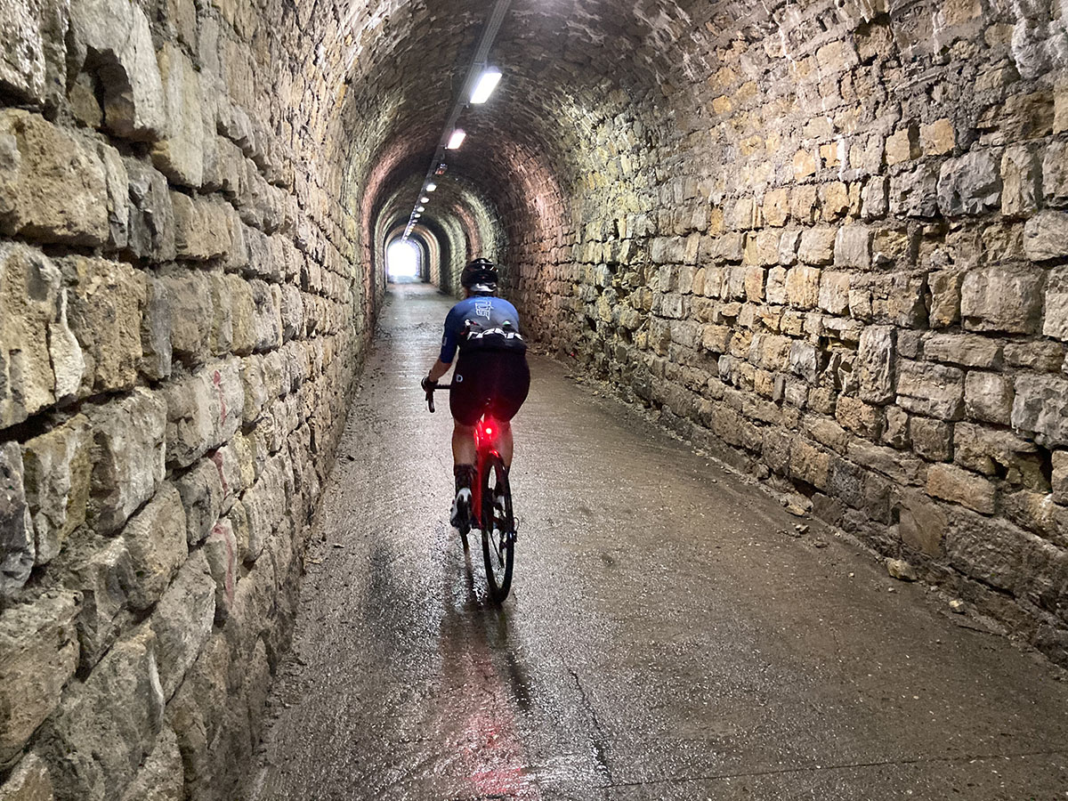
At this point you can start hoping you’ll succeed in your ascent of the monster. The first of the 2 kilometres has gentle inclines (5-6%) to reach the three most famous tunnels of the ProTour, which appear at km 44.4. The first of these is a real thrill! Before entering it, on your right a poster of Marco Pantani will warm your heart so you won’t notice the cold inside!
It’s scarcely wide enough for a car. The lights inside are operated by motion sensors and come on as you pass (it’s important to have front and rear lights so you can be seen by cars). The first tunnel.. the second, shorter, then the third and… boom! The Zoncolan stadium, where tens of thousands of spectators erupt in cheers when they see the first rider emerge from the black hole, a sound that a cyclist will carry in their heart forever.
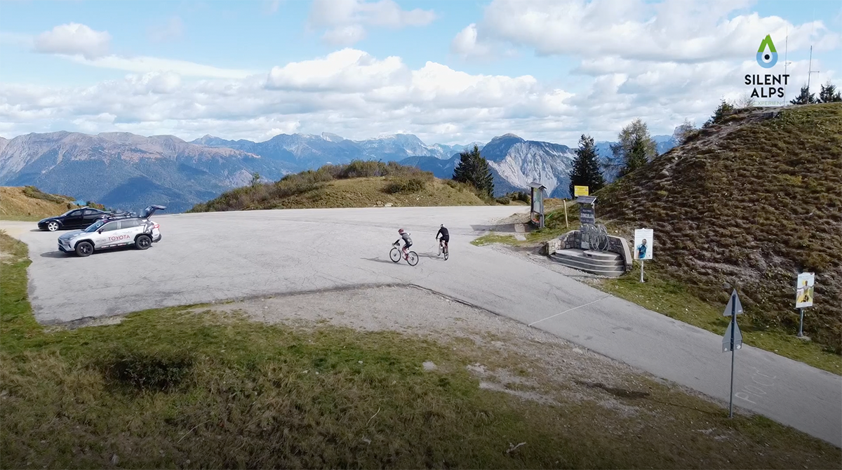
Gilberto Simoni, Michael Rogers, Ivan Basso, Chris Froome… But your name too, as you tell yourself: “You’ve done it!” This is km 45.1, and you’ll be saying the same on each of the 3 tight hairpins you’ll tackle in the final 500 metres. More than a few will shed a tear when they arrive at the top and pose for the ritual photo with the sign saying “Monte Zoncolan, 1750 m asl”.
But what we do know is that you’ll also start feeling a deep sadness at the thought that this is your last day in the Carnic Alps, after a week you’ll never forget.
Distance: 65 Km
Elevation gain: + 1941 mt
Max altitude: 1750 mt
Min altitude: 321 mt
Max gradient: 22%
1
2
3
4
5
6
7
8
9
10
11
12
13
14
15
16
17
18
19
20
21
22
23
24
25
26
27

1
KM 0
Departure from Terme di Arta car park.
2
Km 10,3
Join the cycleway.
3
Km 14,2
Detail of the cycleway.
4
Km 16,1
Bridge over the Tagliamento.
5
Km 22,5
The village of Raveo.

6
Km 23,0
Turn right to begin the “esses” of Raveo.
7
Km 23,8
The view over Raveo.
8
Km 24,8
Steep and tight hairpin bends
9
Km 25,0
Steep section of the “esses” of Raveo.
10
Km 26,2
End of the “esses” of Raveo.
11
Km 26,7
Small church.
12
Km 26,9
Stavoli.
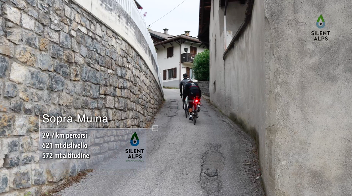
13
Km 31,0
The village of Muina
14
Km 31,4
The Muina section, gradient 18%.
15
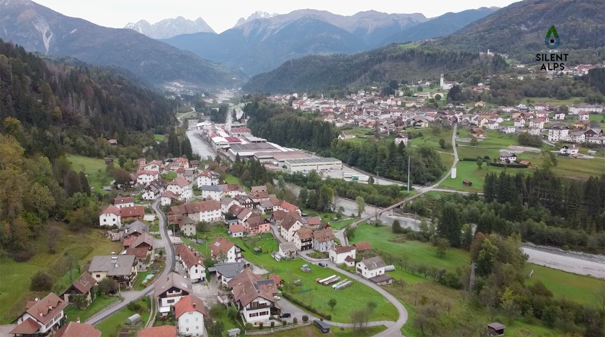
Km 33,5
Beautiful panoramic view of the Degano valley.
16
Km 35,7
The Zoncolan arch.

17
Km 37,2
The village of Liiaris: turn right.
18
Km 37,7
Start of the steep section of Zoncolan.
19
Km 43,5
Malga Pozof, the end of the steep section of Zoncolan.
20
Km 44,0
Viewpoint.

21
Km 44,3
Marco Pantani billboard and panoramic view.
22
Km 44,4
Tunnels.
23
Km 45,0
The stadium of Zoncolan.
24
Km 45,2
The final bend.
25
Km 45,4
Summit of Monte Zoncolan.
26
Km 55,5
Viewpoint on the descent.

27
Km 65,5
Arta Terme.