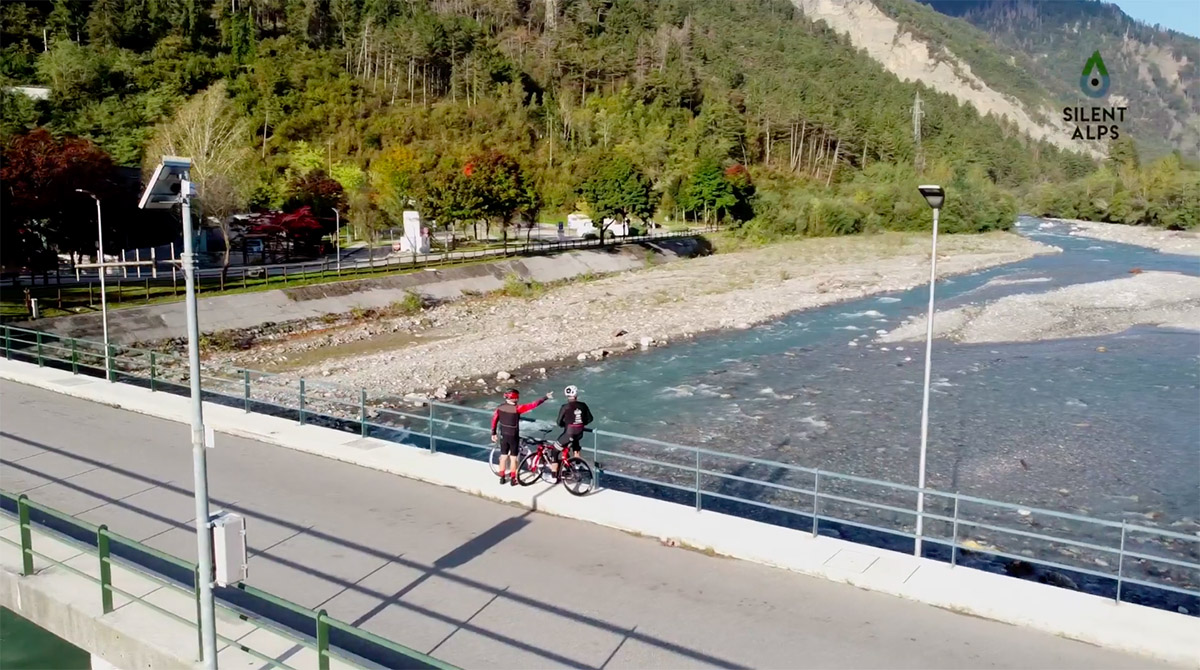
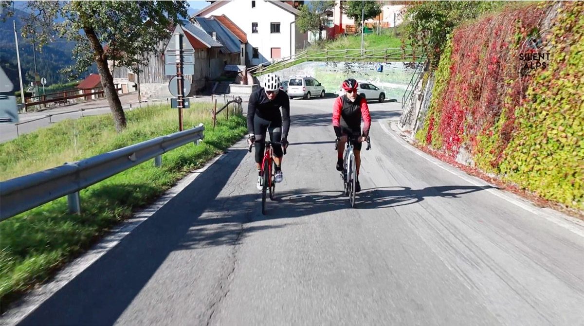
This third route will take you from the Carnic Alps to the Julian Alps, travelling from But to Val Canale via two spectacular climbs, Passo Duron (with an unusual variation) and Passo Cason di Lanza (GPM in the 2013 Giro d’Italia). Starting from our kilometre zero (the car park at Terme di Arta), we take our usual route flanking the main road (but avoiding the traffic). Directione Paluzza! The famous birthplace of Italian cross-country ski stars Giorgio and Manuela Di Centa. At km 7, having turned right off the main road to reach the village, we begin the climb towards Passo Duron.
Silent Alps BikExperience will guide you on an unusual variant to the steeper route made famous by the Giro d’Italia.
Having passed the hamlets of Englaro and Treppo Carnico, instead of going straight on towards a steep section that leads to Ligosullo, we get you to turn left: you’ll cycle more kilometres but arrive at the same place. However (to avoid misunderstandings), as soon as you turn left, you’ll find a pretty stiff climb, with gradients between 8 and 11% and peaks of 14%.
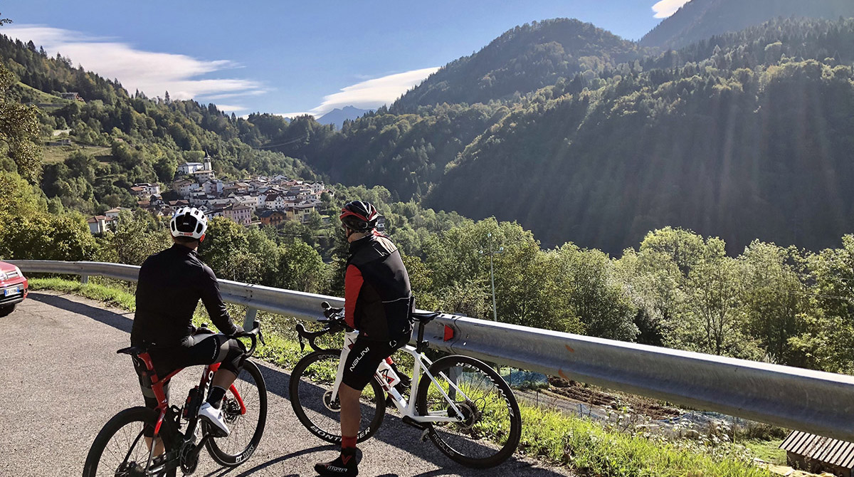
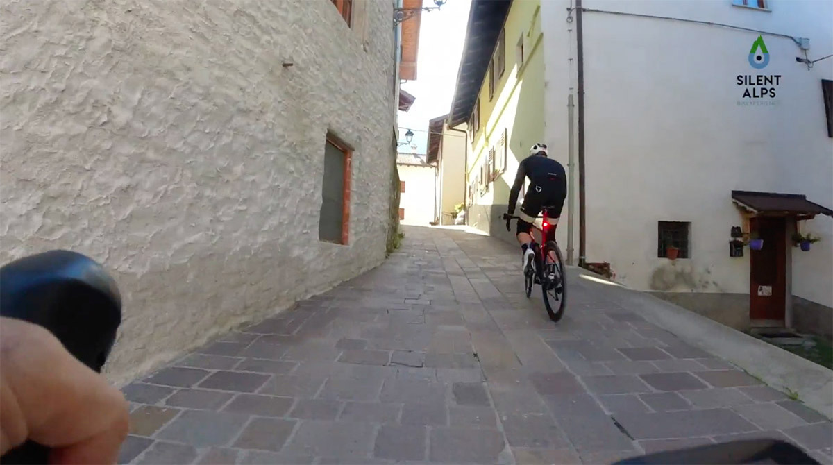
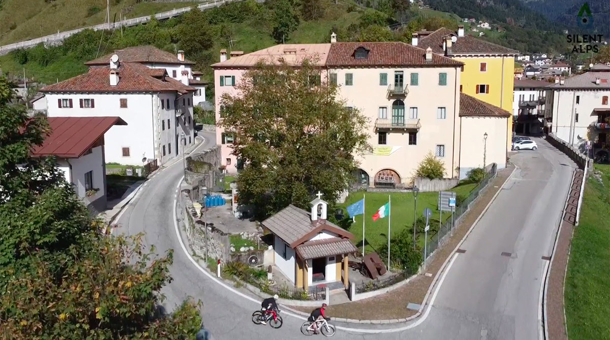
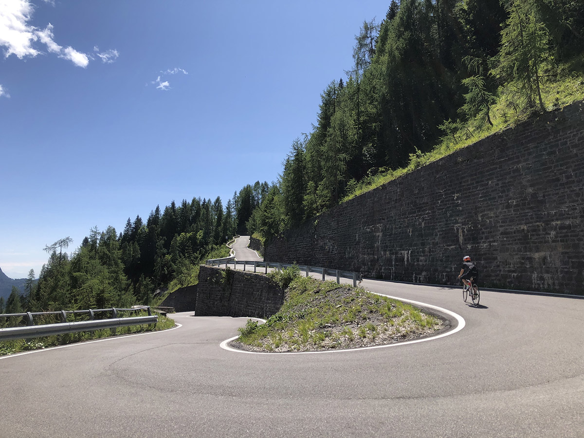
This will take you through Tausia, where you can stop and admire the Pontaiba valley and see its highest point, Ligosullo, where we’re headed. Back on the bike and there’s a downhill stretch taking us to the pretty streets of Ligosullo. It’s wonderful to experience the peace of these little villages, and equally magnificent to rejoin the main road at km 14.5, and start climbing the hairpin bends to the top! These tight bends (six in a kilometre) present one of the toughest moments in this first climb; the steepest gradient is 17%.
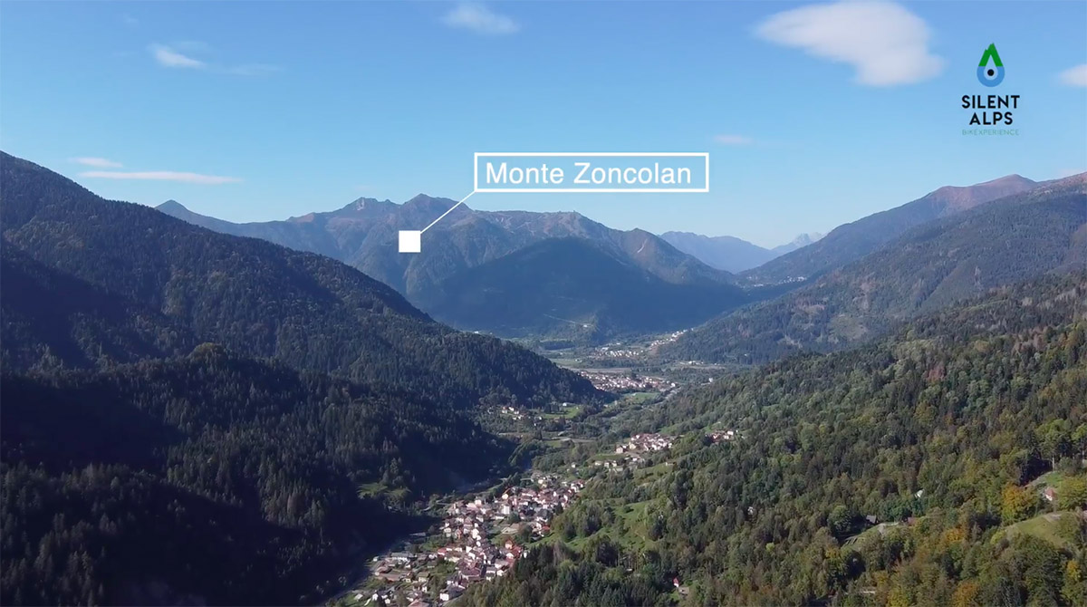
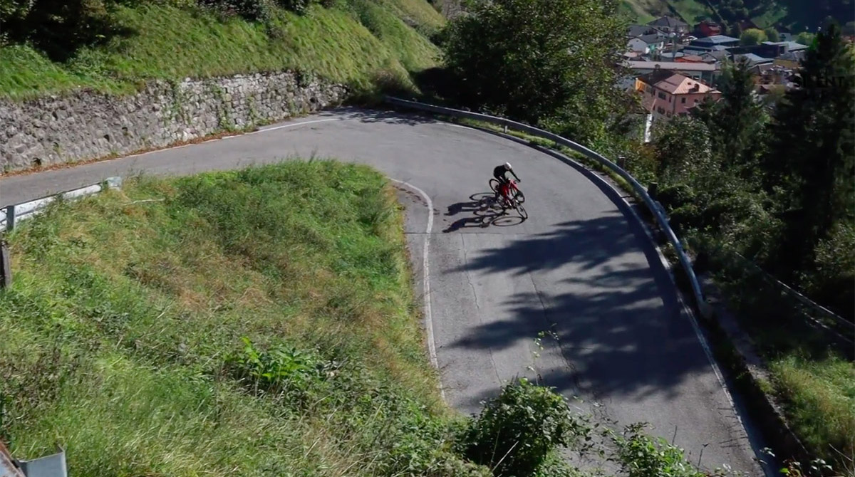
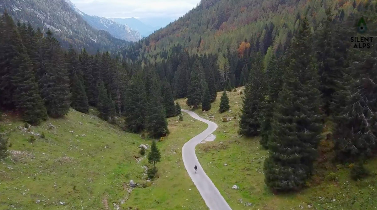
After the sixth bend, the incline starts to level off, becoming completely flat at the most picturesque spot, where it’s obligatory to take a picture against the backdrop of Zoncolan and Monte Crostis. Leaving this natural terrace, there’s a brief descent to Forcella Lius, followed by a kilometre uphill through a lovely forest, taking us to the ultra-technical descent to Palauro. The last 3 km require great care. It’s extremely steep, with maximum gradient of 19%. At km 21.9 we cross the Chiarso stream and turn left to follow its bank towards the ascent to Passo Cason di Lanza.
We can tell you right now that the information about the climb you’ll read when you get to Paularo is misleading, as is what you’ll read in specialist magazines, which describe a climb of 14 km.
This is in fact the total distance to the col, but you should know that it’s divided into two climbs with a downhill stretch in between, as follows: the first climb to the Zermula plateau is 5.8 km with an average of 7.5% and the second – after a descent of 2 km – is 6 km with an average gradient of 10%, made up of several very steep sections (max 18%) alternating with flat stretches.
In short, this is an Hors Categorie climb, and must therefore be approached with due caution and the appropriate gears.
The ascent that featured in the stage of the Giro d’Italia leading to the Montasio Plateau, won by Rigoberto Uran, will certainly be a challenge that will leave you breathless and open-mouthed in every way – for its difficulty and also for its arrival point at km 36.6.
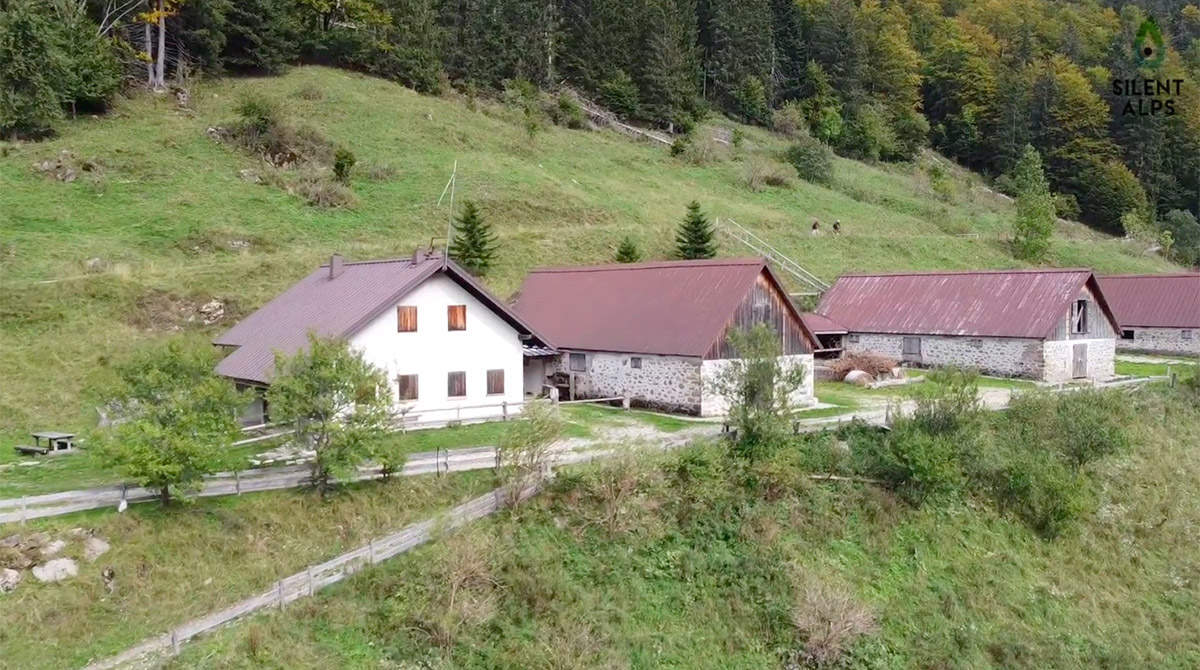
The spectacular climb ends at a mountain hut set between two peaks, where it’s all about cheese-making and your audience is a herd of cows. As you’ll have noticed, we at Silent Alps Bike Experience are keen on numbers, so we’ll let you know that at this point of the route, you’ve only covered 36.6 km, but the elevation gain is already 1800 metres.
Hence the lengthy and well-deserved technical descent Pontebba. Watch out for the many very steep sections you’ll find, and be careful not to overheat the brakes. At km 52 we come to Pontebba, where cycling is a key part of the local economy. There are plenty of places with bike racks outside, ready for use by cyclists. This is partly due to the proximity of the award-winning Alpe Adria cycleway, one of the best in Europe, which you’ll join shortly (km 53) and follow for 23 delightful kilometres of tunnels and iron former railway bridges to Moggio Udinese. At km 76, we leave this fabulous cycleway and head back towards Arta Terme.
Distance: 100 Km
Elevation gain: + 2300 mt
Max altitude: 1561 mt
Min altitude: 325 mt
Max gradient: 20%
1
2
3
4
5
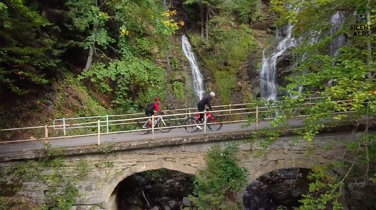
6
7
8
9
10
11
12
13
14
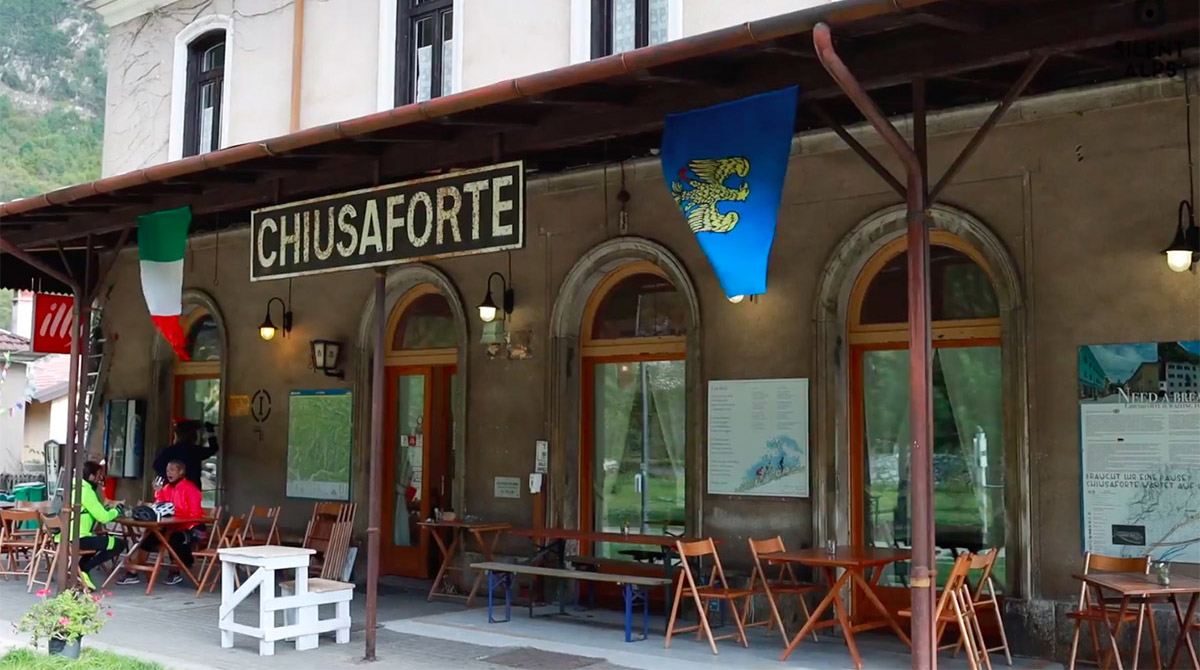
15
16
17
18
19
20
21
22
23
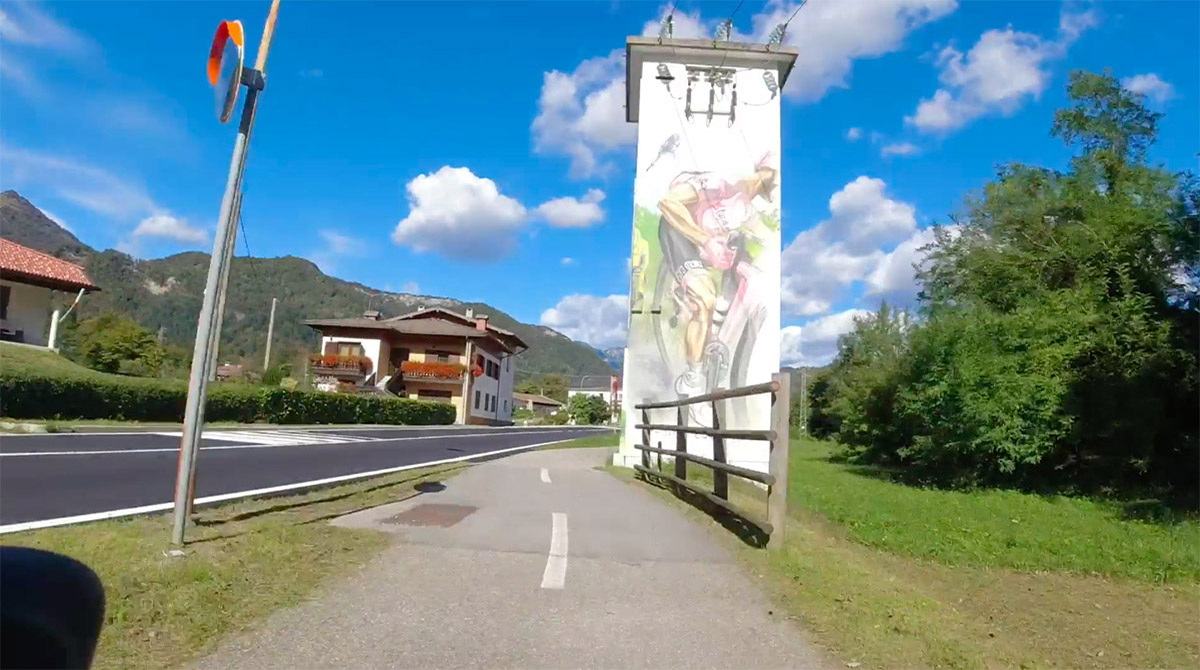
24
25
26
27
28
29
30
31
32
33
34
35
36
37
38
39
40
41
42
43

1
Km 0
Departure from Terme di Arta car park.
2
Km 7,00
The turning to Paluzza.
3
Km 9,4
Treppo Carnico bridge.

4
Km 9,8
Bear right following the main road.
5
Km 1,4
Watch out for the turning!! Go left for Tausia.
6
Km 13,6
Views over the valley.
7
Km 14,3
Turn left for the centre of Ligosullo.
8
Km 14,5
Start the steep section at Ligosullo
9
Km 15,6
The view from Ligosullo.
10
Km 21,5
The descent to Paularo
11
Km 21,8
Turn left for the Paularo bridge
12
Km 21,9
Turn right onto the bridge and left on the other side, following the river
13
Km 22,8
Turn right for the ascent to Lanza.
14
Km 23,9
The view over Paularo.
15
Km 47,2
End of the first climb, with a beautiful mountain hut to the left.
16
Km 28,
Start the second section of the ascent
17
Km 30,5
A break with a view and a cheese hut
18
Km 31,1
Casera Meledis.
19
Km 31,4
Casera Meledis.
20
Km 32,00
Start of the steep section.
21
Km 32,8
Waterfall on the right
22
Km 36,6
Passo Cason di Lanza.
23
Km 39,0
Steep hairpin bends with a view.
24
Km 59,9
Join the main road.
25
Km 51,5
Join the main road
26
Km 51,9
Turn left for the centre of Pontebba.
27
Km 52,0
Turn right under the railway bridge.
28
Km 52,1
The square at Pontebba, with a bar on the left.
29
Km 53,0
Turn right onto the main road.
30
Km 64,7
Stazione di Chiusaforte, a former station that’s now a bar for cyclists.
31
Km 75,3
Underpass back onto the provincial road.
32
Km 80,7
Continue to bear right.
33
Km 84,0
Amaro.
34
Km 90,8
Go straight on at the roundabout.
35
Km 91,8
Centre of Tolmezzo.
36
Km 92,8
Bridge over the river But.
37
Km 93,0
Turn right towards Arta Terme.
38
Km 93,5
Rejoin the cycleway.
39
Km 94,4
Giro D’Italia mural.
40
Km 95,4
Rejoin the main road
41
Km 99,7
Zuglio.
42
Km 100,1
Turn left after the bridge.
43
Km 100,4
Arta terme