If we’ve listed this route among our six favourites, there’s a reason! Anyone who comes to the Carnia region and doesn’t cycle routes that include Sauris and Pesariis simply has not cycled in the area.
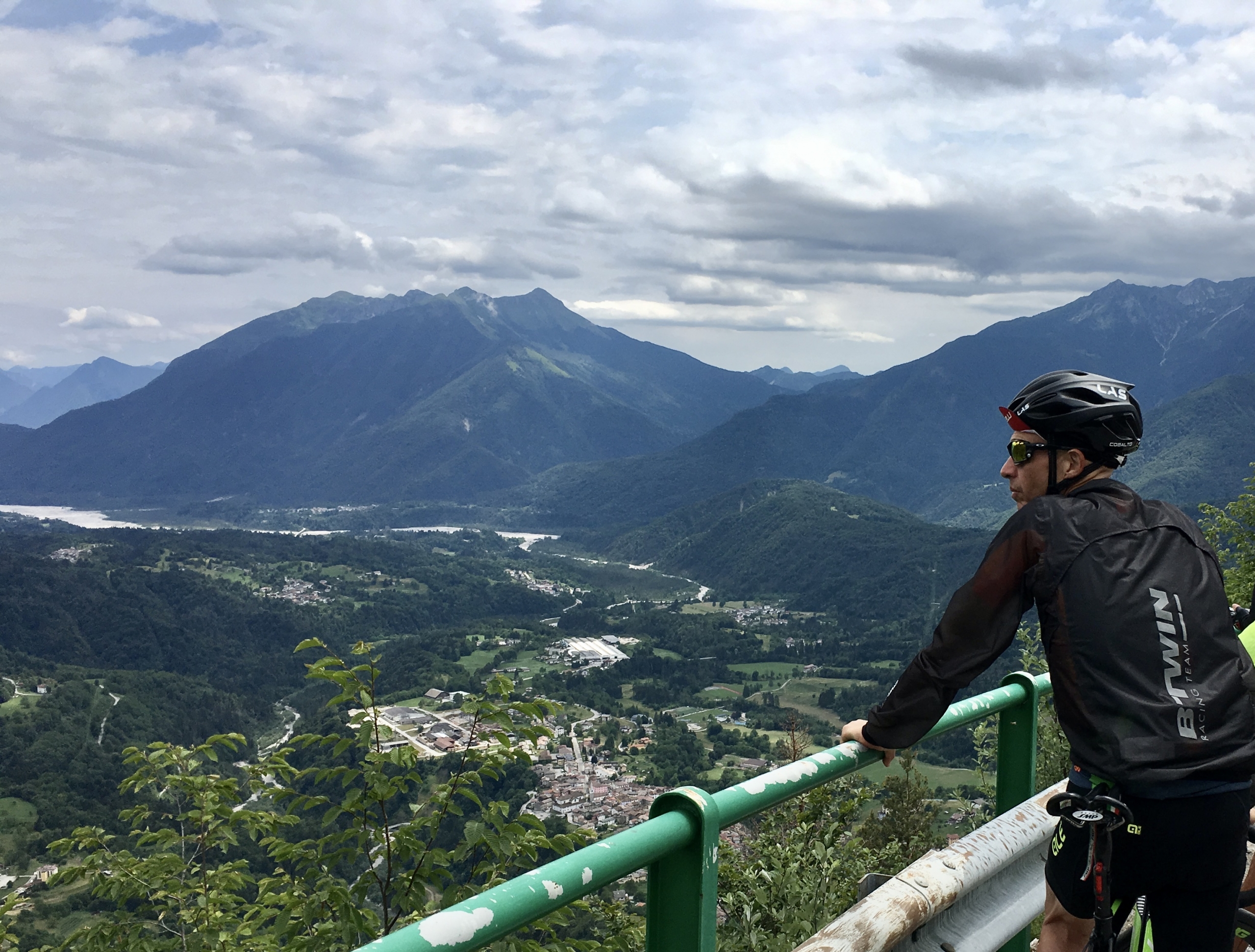
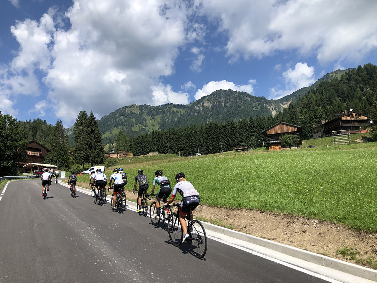
In fact, this route takes in two of the most fascinating gems of this emerald green area of the Carnic Alps, set between Carinthia and Cadore. Departing from our “kilometre zero” and general headquarters, the car park at Terme di Arta, we head towards the Tagliamentovalley. But let’s talk about the CLIMB. Having followed cycleways among green countryside past the villages of Villa Santina, Quinis, Socchieve and Ampezzo, and Ampezzo, we come to km 32.7 and the start of a tough but magnificent climb.
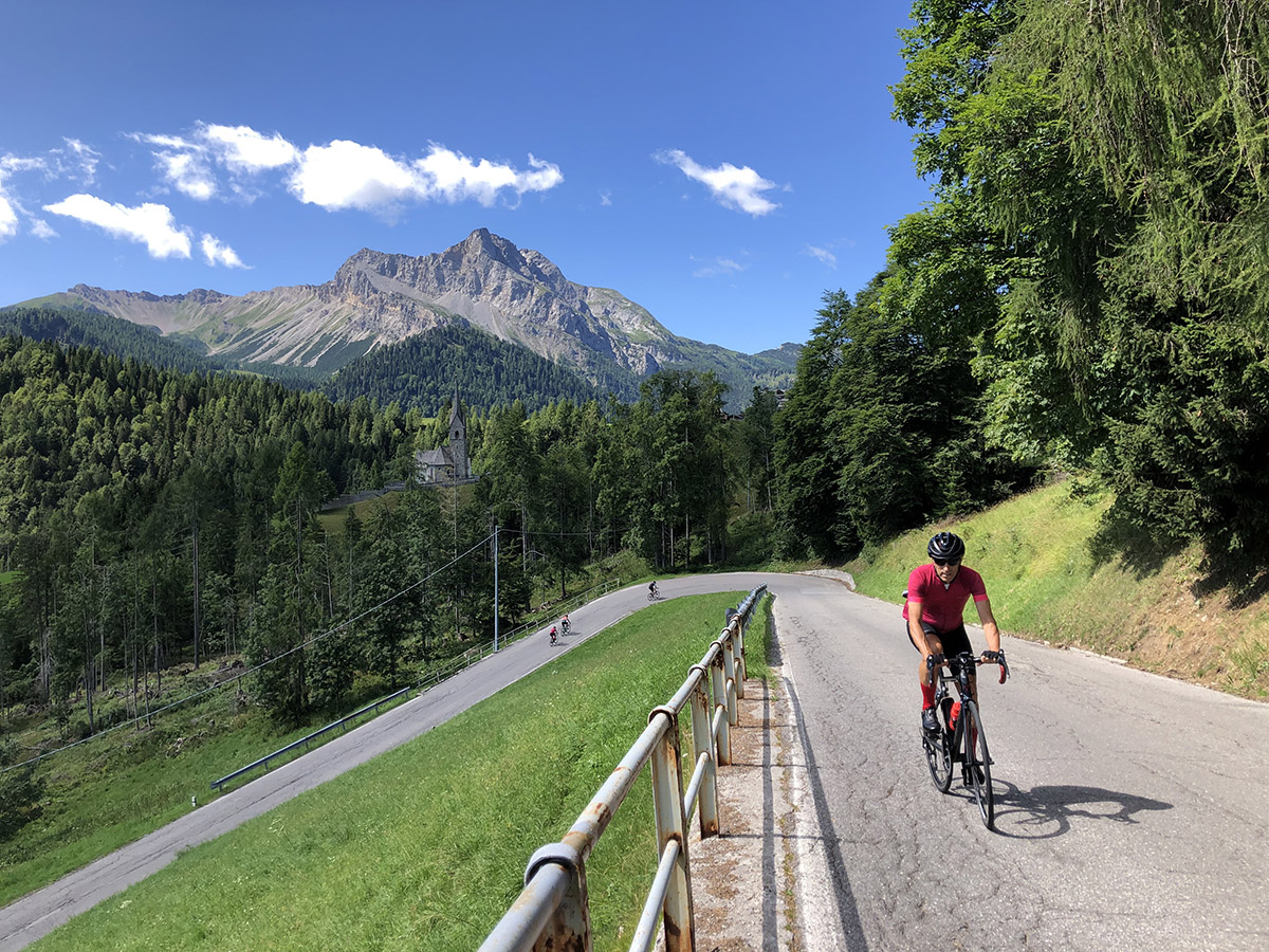
Featuring in the Maniago-Monte Zoncolan, stage of the 2014 Giro di Italia, Passo del Pura is one of the most stunning ascents in the Friulian Alps. From here – having already climbed gently for most of the way – we’re looking at 8.4 km with an average gradient of 8.3%.
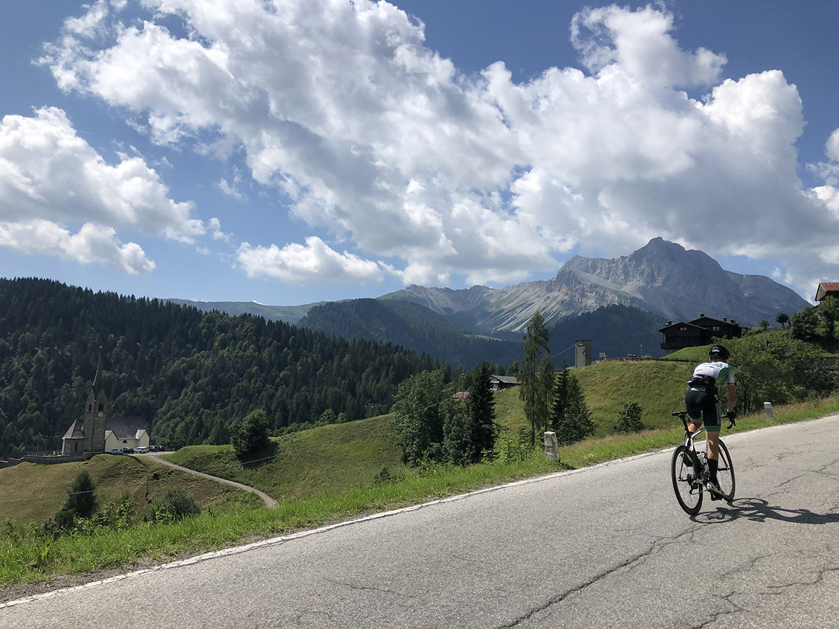
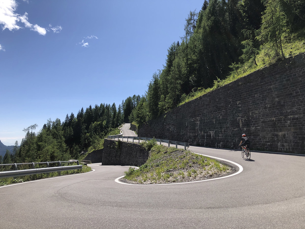
Nine hairpin bends take us to 1450 metres, where we find a beautiful mountain hut and a small open-air church with views that will take our breath away. After a stop for refreshments and to enjoy the views, we begin a 5.5 km descent. Take care!
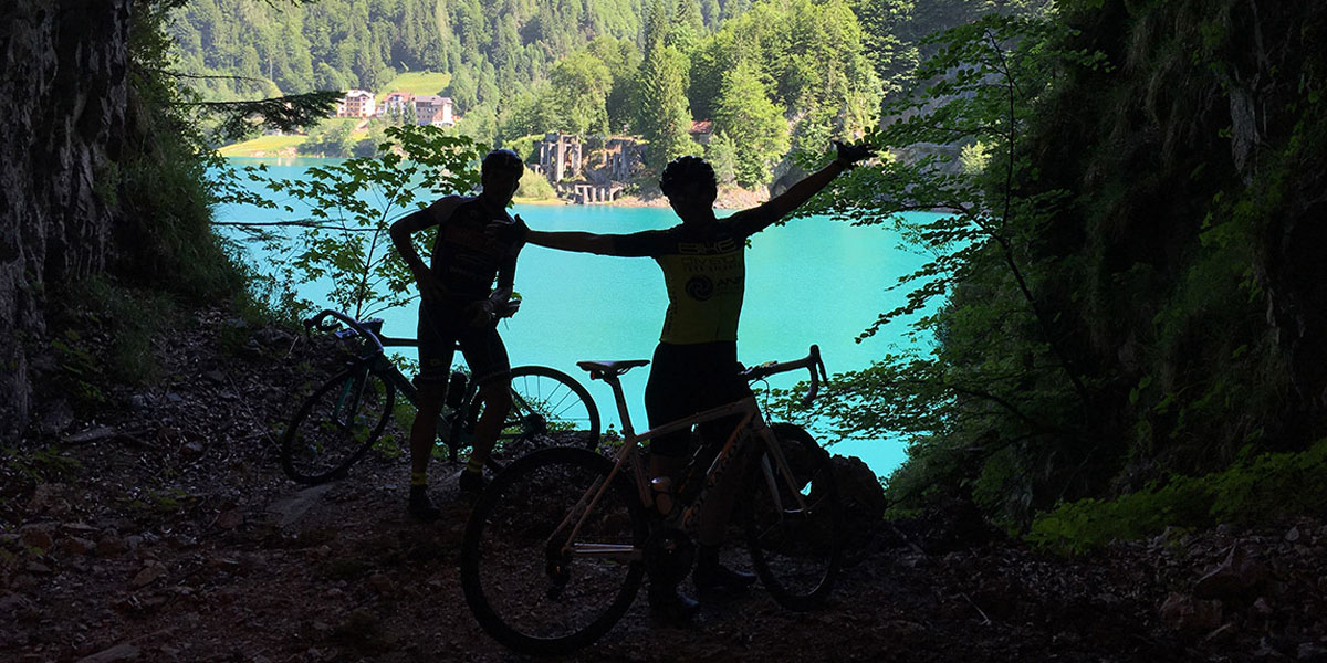
The descent is highly technical albeit spectacular, and surrounded by extraordinary forest. In the last kilometre, you’ll be looking at treetops below you and getting distracted by an unusual emerald green colour. It’s the water of lago di Sauris which gradually appears on your right. But this isn’t the place for the best views of the lake! We continue to km 47.2, where we enter the very heart of the mountains via an incredible tunnel carved out of the rock.
It’s scenic, to say the least! After just 50 metres, an opening on the left shows the lake framed like a picture (see photo). After this, we continue in darkness (make sure you have powerful front lights to see the way), and emerge as if by magic on top of a dam.
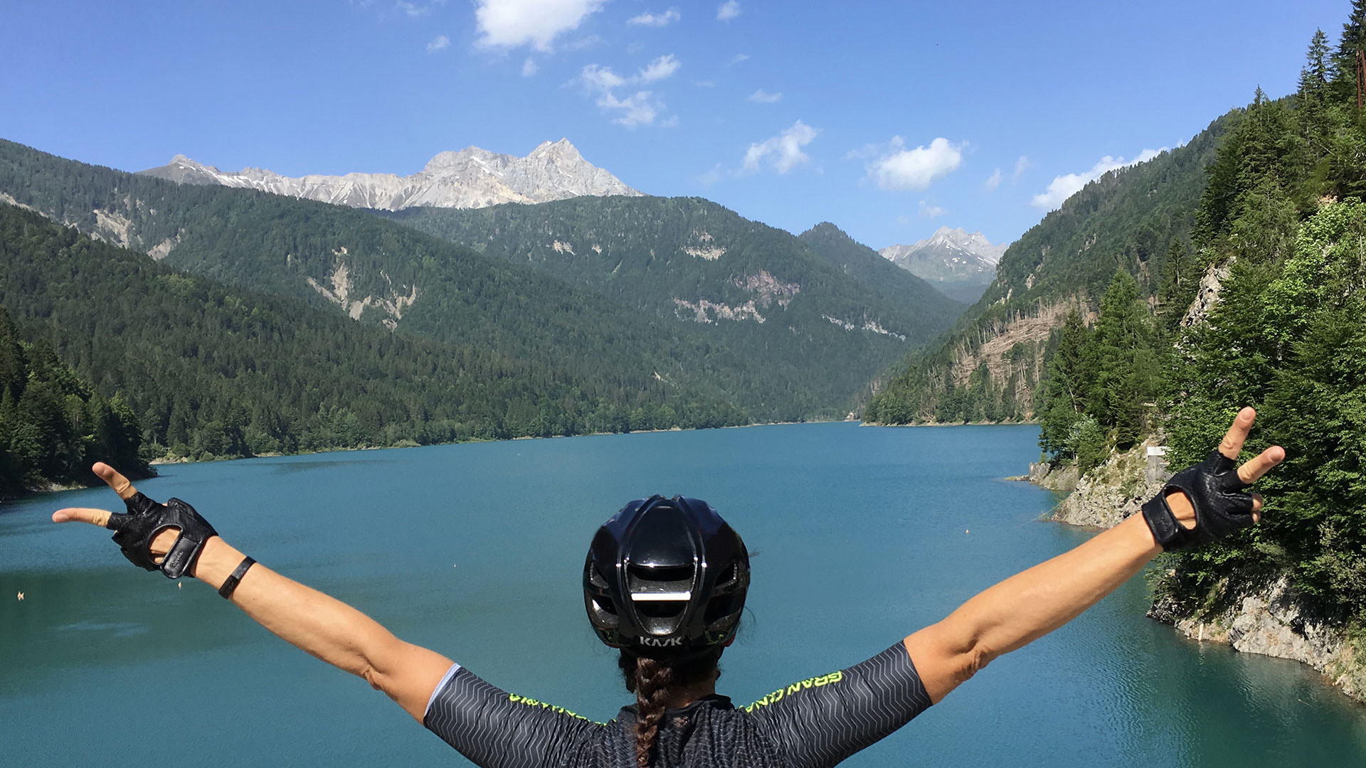
From the 135-metre Sauris dam, we can admire the vast lake on one side and a terrifying sheer drop on the other.
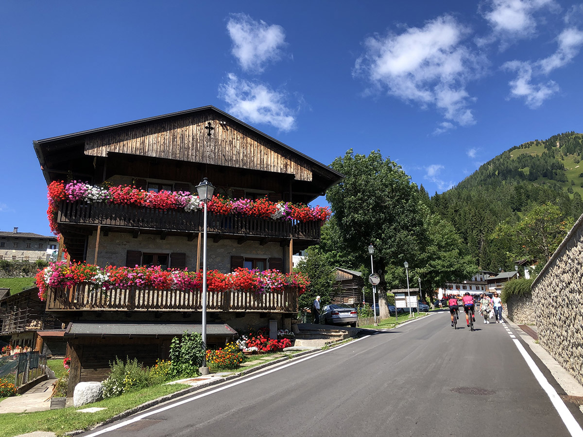
Leaving the dam, we follow the shore of the “turquoise dream” towards the villages of Sauris di Sotto at km 51.6 and Sauris di Sopra (the highest village in Friuli) at km 54.9. Awaiting us up here are only wooden houses adorned with geraniums, the best prosciutto in the Alps and one of Friuli’s best beers! After passing through the two villages, we continue towards Casera Razzo; the last 3 km are uphill, and the final part is the toughest in this route, with an 18% gradient.
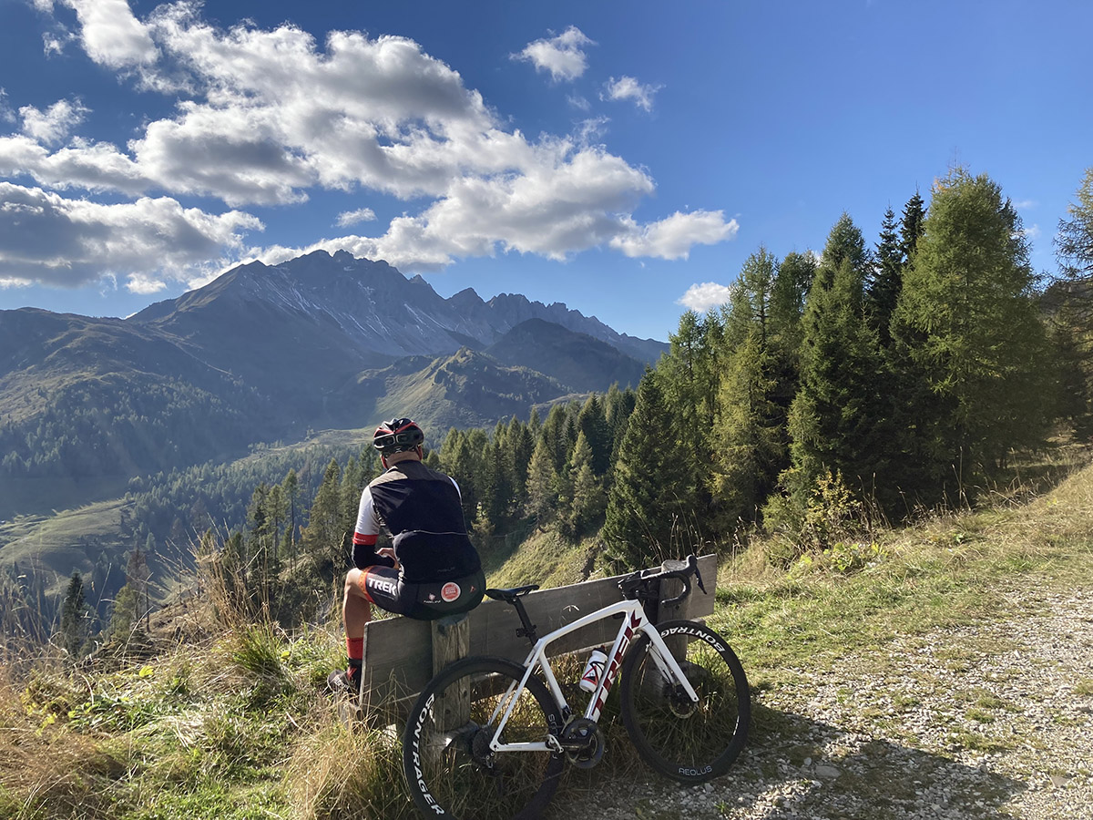
Once you’ve completed it, your computer will show an elevation gain of 2100 metres after just 62 km, but that’s not all: as if by magic, a bench appears on an incredible viewpoint, from which you can marvel at everything we’ve mentioned thus far, almost as if to give us a last look at where we’ve been. We don’t know how long you’ll sit there, holding your breath and listening to the silence broken only by the wind in the fir trees, your gaze lost in the immensity of the Alps; what we do know is that after this there’s a very long descent of 28 km, down the valley of time to the village of clocks! Pesariis!
We won’t tell you what you’ll see in this village at km 83, apart from that you’ll be surrounded by clocks of all types, and that visitors from all over come here to admire the place…
Exhausted but satisfied with the day’s ride, we head back to Arta Terme where maybe a massage can help prepare us for our next adventure ;-).
Distance: 120 Km
Elevation gain: + 2400 mt
Max altitude: 1830 mt
Min altitude: 321 mt
Max gradient: 19%
1
2
3
4
5
6
7
8
9
10
11
12
13
14
15
16
17
18
19
20
21
22
23
24
25
26
27
28
29

1
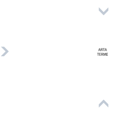
Km 0
Departure from Terme di Arta car park
2
Km 14,5
Tree-lined cycleway
3
Km 16,1
Madonna del Ponte
4
Km 17,6
Villa Santina lake
5
Km 20,0
Turn left to skirt Enemonzo
6
Km 21,3
Turn right onto a beautiful road in the Enemonzo countryside.
7
Km 21,7
Turn left to return to the secondary road
8
Km 26,1
Start the climb to Ampezzo at the Passo del Pura exit (6.5 km at average 4.5%, including a downhill section).
9
Km 29,2
Ampezzo (water, refreshments and coffee available in a number of bars).
10
Km 32,7
Turning for the climb to Passo del Pura (8.6 km, average 8.3%. Max gradient 14%, 9 hairpin bends).
11
Km 36,9
View of the Tagliamento valley from the 7th hairpin bend..
12
Km 40,8
Passo del Pura, 1450 m; beautiful open-air church on the left.

13
Km 41,2
Rifugio Tita Piaz, bar-restaurant for food and water.
14
Km 41,3
Start of the very technical descent in the Pura forest, 5.5 km.
15
Km 47,2
Entry to tunnel in the rock. NB front and rear lights recommended, very little light. Length 400 m.
16
Km 47,6
Sauris lake and dam
17
Km 49,7
Start the climb to Sauris di Sotto and Sauris di Sopra Casera Razzo, (12.6 km and average 6.5%, but caution: the average includes many flat stretches, included in the total for convenience; the climb is extremely challenging. Max gradient 20%).
18
Km 51,6
Sauris di Sotto: turn left, leaving the main road in the centre of Sauris di Sotto (the detour is steep at 18% but very pretty; following the main road we pick up the track 1 km later).
19
Km 51,9
Sauris di Sotto, the village of prosciutto and speck.
20
Km 54,7
Series of photo-worthy hairpin bends.
21
Km 54,9
A sinistra chiesa di San Lorenzo Sauris di Sopra.
22
Km 56,6
Tratto di 2 km circa pianeggiante.
23
Km 58,8
Start of 3.3km climb with 7 hairpin bends and average gradient 9%; maximum gradient 20%.
24
Km 59,9
Hairpin bends to Casera Razzo.
25
Km 61,5
Start of steep section

26
Km 62,1
End of climb, viewpoint with bench and start of flat section.
27
Km 63
Descent with stunning views.

28
Km 63,3
Start descent of Val Pesarina (26 km).
29
Km 83,0
Turn right for Pesariis, the village of clocks.